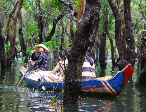
While the risk of climate change is potentially dangerous, natural disasters have always been disastrous and deadly. Vietnam is located in one of the five storm centers on the planet. It is estimated that Vietnam is hit by 6.5 storms per year. Vietnam is also prone to floods and other disasters. CCFSC’s data show that between 1990 and 2010, Vietnam had to bear 74 flood events. Storms and floods almost always come with severe aftermaths. For instance, Typhoon Damrey, 2005, caused 68 humans dead, devastated 118 thousand houses and destroyed 244 thousand hectares of rice.
The Government of Vietnam has been very engaging in the fight against natural disasters and climate change. It has set climate change and natural disasters at the top of its priorities. The National Target Program to Respond to Climate Change (NTP-RCC) has been approved by the Prime Minister in December 2008. In March 2012, the Government launched the National Strategy on Climate Change (NSCC).
With enormous supports from the international donor community, in particular UNDP, DANIDA and the World Bank, the Government of Vietnam has been highly active in raising community awareness of climate change and natural disasters and supporting vulnerable communities. The Ministry of Agriculture and Rural Development has been conducting various projects to strengthen institutional capacity for disaster risk management. One of which is the Community-Based Disaster Risk Management (CBDRM) Program. This work is the initial stage of a long process in the government’s attempt to assist the most vulnerable communes cope with natural disaster in the future.
This study acts as an instrumental asset to the Program’s implementation through identification of vulnerable communes using objective scientific methods. The research is applied in three pilot provinces: Cao Bang, Binh Thuan, and Can Tho. This paper presents the methodology used to rank communes according their risk level to natural disasters, data sources used for risk index estimation and implementation process of deriving a list of vulnerable communes. The ultimate output of the project is the list of the most vulnerable communes to natural disasters in the three pilot provinces.
Download this study of Dr. Le Dang Trung, RTA’s Chief Economist here: Identifying 6,000 Most Vulnerable Communes For The Government CBDRM Programme


Leave A Comment